Share this post
Satellite imagery has better enabled us to identify and pinpoint the threats to the Colombian Amazon. It helps us monitor forest cover and fragmentation processes. Further, the world of advanced technology driven by Silicon Valley is more responsive to incorporating on-the-ground realities into their new data: witness Google Earth and Google Earth Outreach. But, while we strive to integrate new technology breakthroughs with local realities in order to implement new conservation measures, we cannot defer our everyday work.
As excited as we are to analyze what is happening to the forest from a distance, we cannot divert attention or resources away from what lies beneath the forest cover monitored by the satellites.
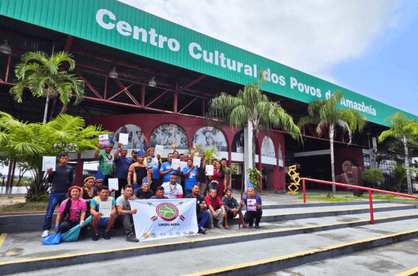
My organization, the Amazon Conservation Team (ACT), has worked for more than 12 years in the westernmost Colombian Amazon, known as the “Piedemonte.” This transition zone between the Andes and the vast Amazon Basin is one of the world’s most biologically diverse areas. It is the home of indigenous experts in shamanism and traditional medicine. Though renowned for its rare species and cultural practices, and a recognized priority Amazon conservation region, it enjoys no special protection: its ecosystems and communities are exposed to deforestation caused by mining, ranching, the expansion of the agricultural frontier, and the weakness of the national state.
Media Relations
For press release inquiries, please contact us at info@amazonteam.org.