

Posts Tagged ‘territorial rights’
Mapping with Indigenous and local communities to help protect the Amazon
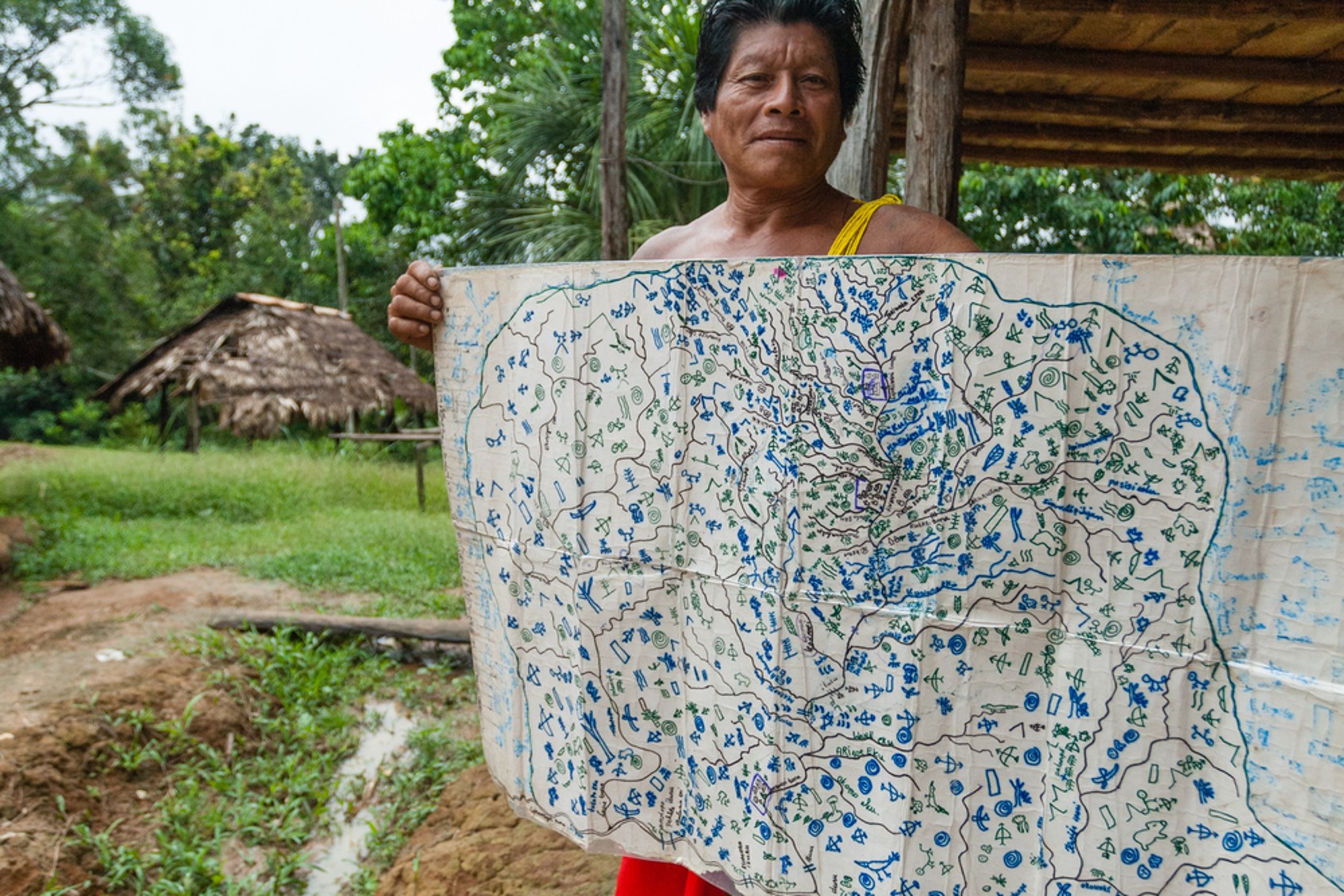
Brian Hettler, a geographer and cartographer with the Amazon Conservation Team (ACT), works with Indigenous communities in South America on participatory mapping initiatives that support indigenous land rights and rainforest conservation. Maps are more than collections of geographic coordinates or lines representing roads or country borders. They can be an expression of a community’s culture, territory, and…
Read MoreEsri highlights ACT mapping work with Indigenous communities
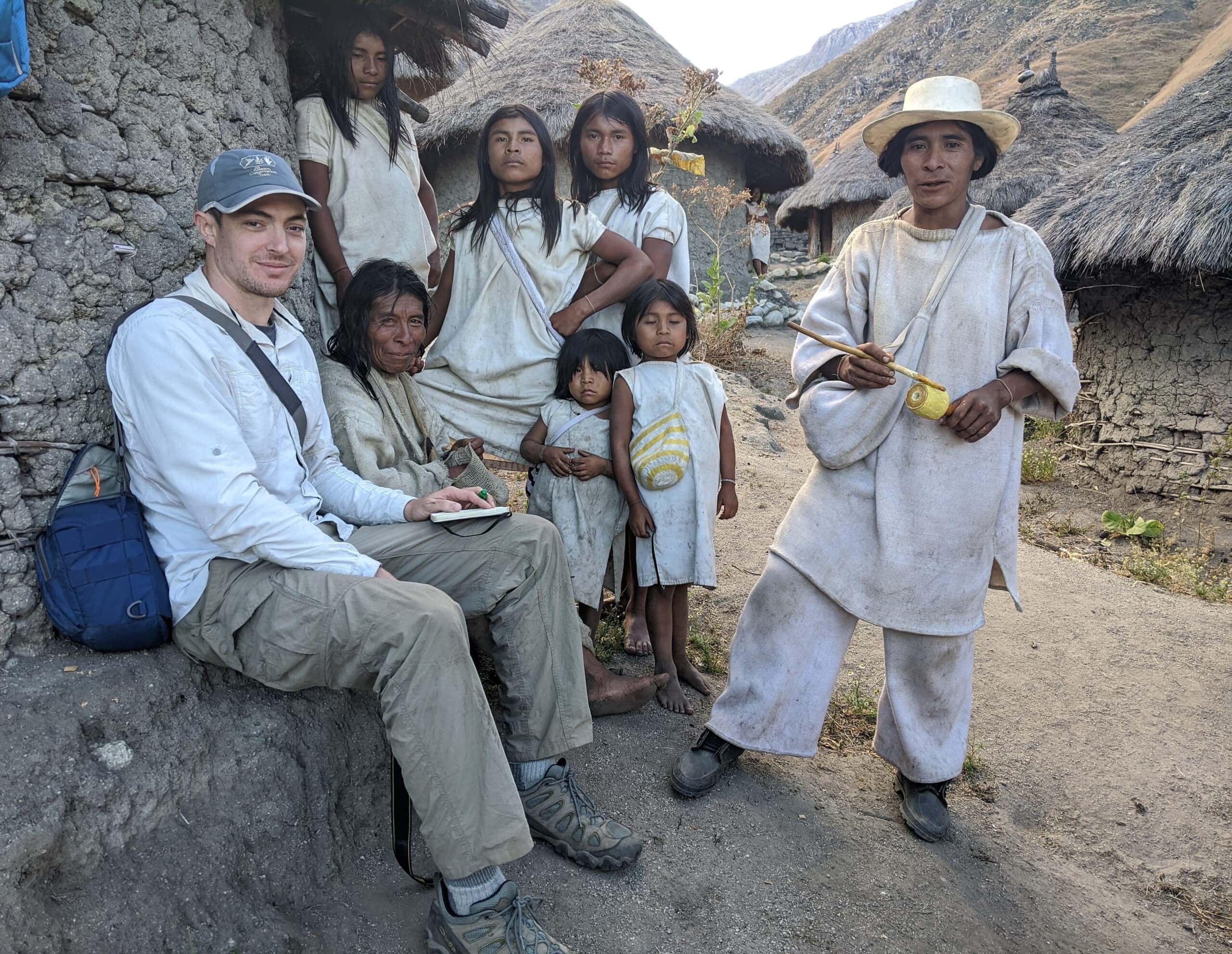
The Amazon Conservation Team works closely with Indigenous communities to create cultural maps that record and preserve traditional knowledge and support the conservation of ecosystems. Brian Hettler, Director of Mapping for the Amazon Conservation Team (ACT), recently spoke with Esri’s StoryScape magazine about using Esri’s GIS software to build maps with local communities. He also explains more…
Read MoreConservation victory in Colombia’s deforestation hotspot
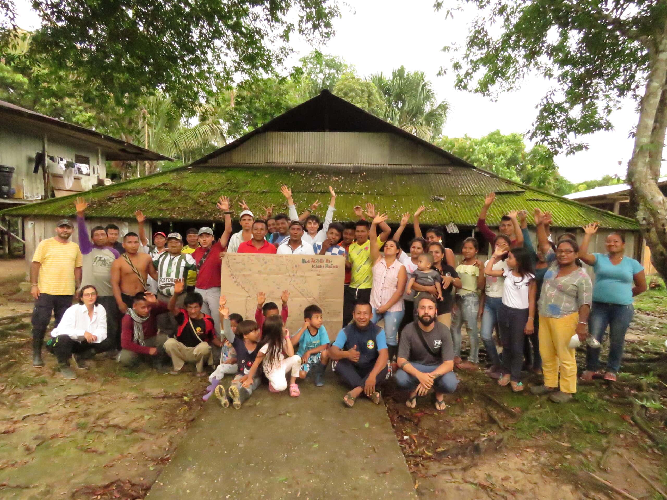
On the shores of the Caquetá River, among tall Amazonian palms and fast flowing waters brown with silt, are three indigenous reserves– Huitorá, Coropoyá and Jericó Consaya. These reserves are home to 138 families of the Murui Muina and Korebajʉ people, who have long assumed responsibility for caring for the life within their biodiverse territory.
Read More