

Posts Tagged ‘mapping’
Esri highlights ACT mapping work with Indigenous communities
The Amazon Conservation Team works closely with Indigenous communities to create cultural maps that record and preserve traditional knowledge and support the conservation of ecosystems. Brian Hettler, Director of Mapping for the Amazon Conservation Team (ACT), recently spoke with Esri’s StoryScape magazine about using Esri’s GIS software to build maps with local communities. He also explains more…
Read MoreUsing Satellite Technology to Protect Isolated Tribes in the Amazon Rainforest
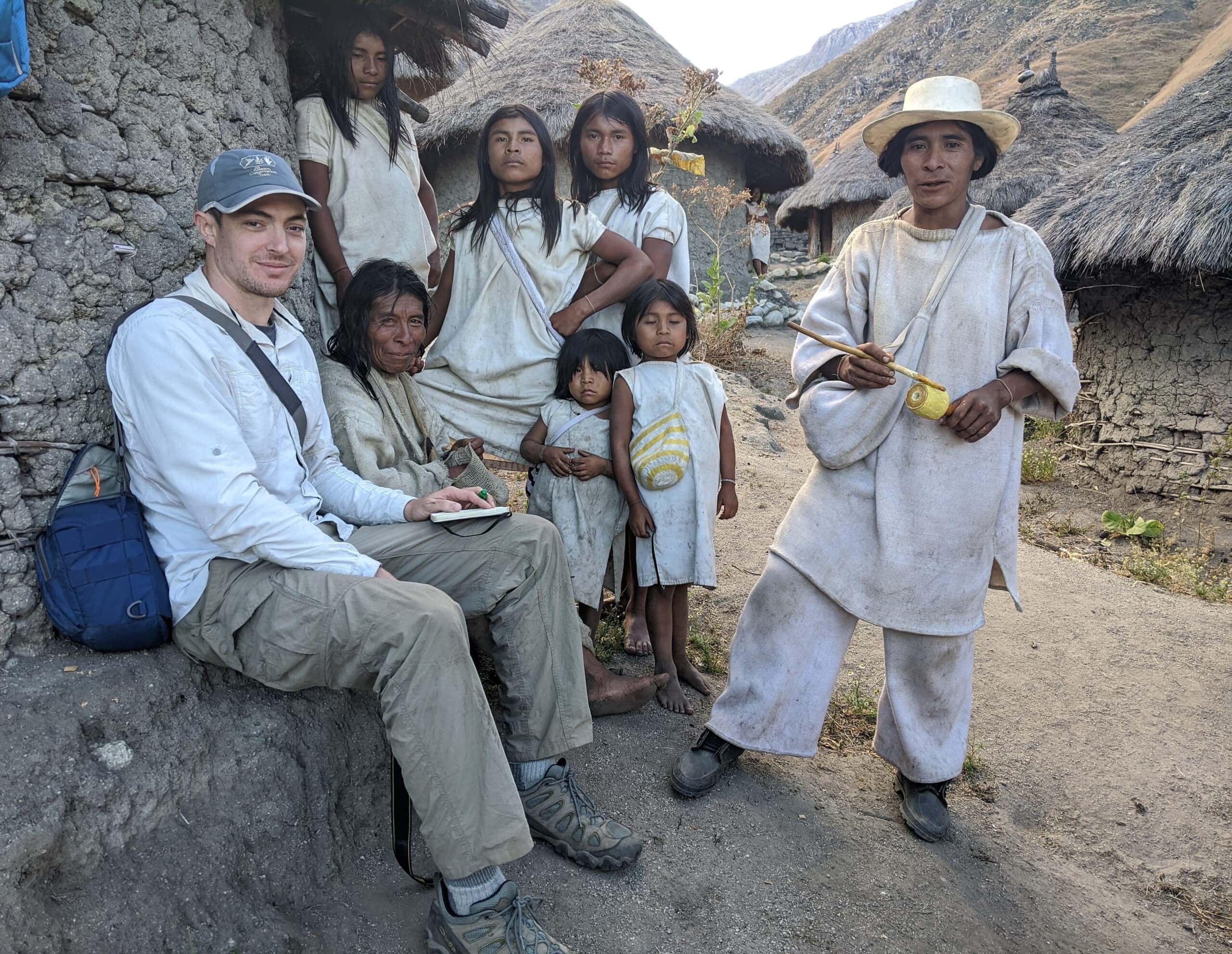
A field team from ACT traveled to the Curare – Los Ingleses Indigenous Reserve in the Colombian Amazon in July to assist local communities in the creation of a detailed management plan for their rainforest territories that integrates western and traditional perspectives to achieve sound conservation practices. Amazingly, this remote reserve has spearheaded national efforts…
Read MoreStorytelling empowers indigenous people to conserve their environments
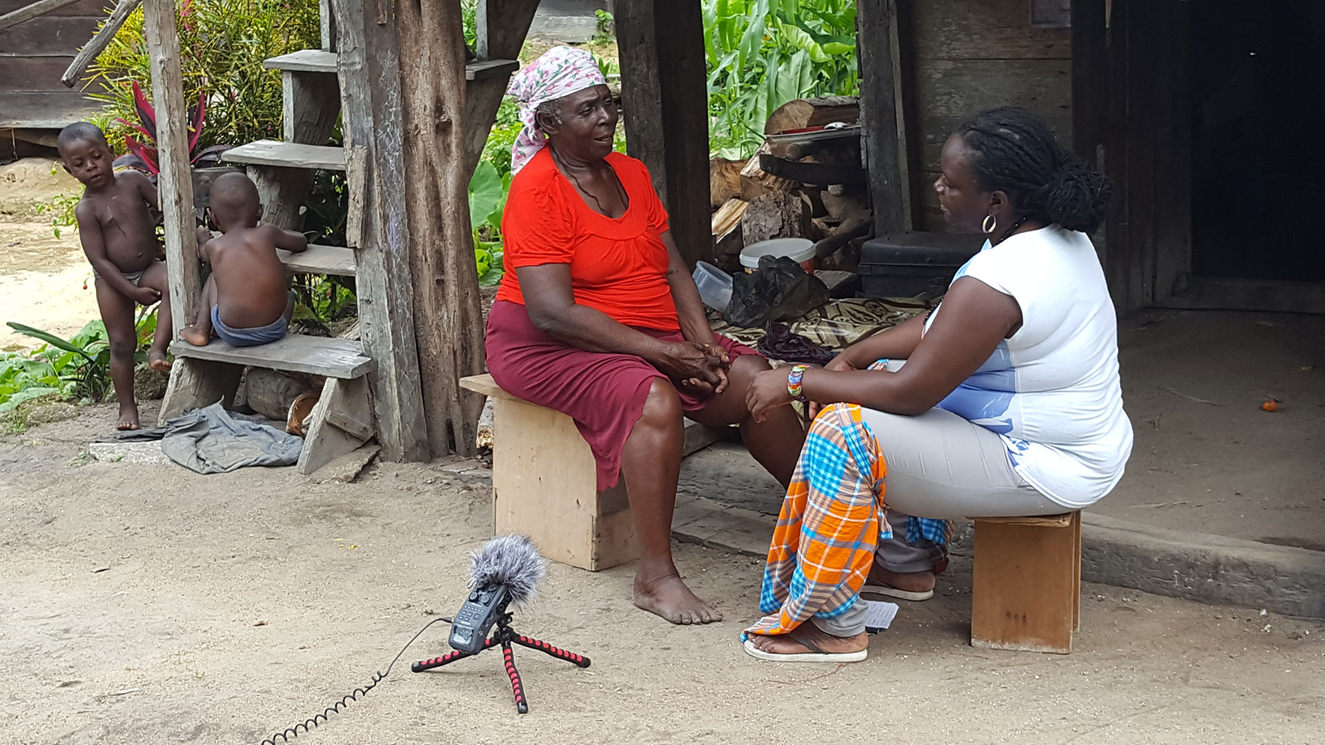
Indigenous storytelling is a powerful tool for preserving biocultural diversity, says Álvaro Fernández-Llamazares, an environmental researcher at the University of Helsinki in Finland. Having heard stories in Bolivia, Costa Rica, Kenya and Madagascar, he has now proposed that storytelling could transform how conservationists work with native peoples. The Amazon Conservation Team (ACT) embodies this philosophy. ACT partners with South American indigenous communities to preserve rainforests and traditional culture.
Read More