
Posts Tagged ‘indigenous land rights’
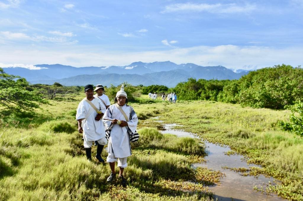
Biocultural restoration at Jaba Tañiwashkaka
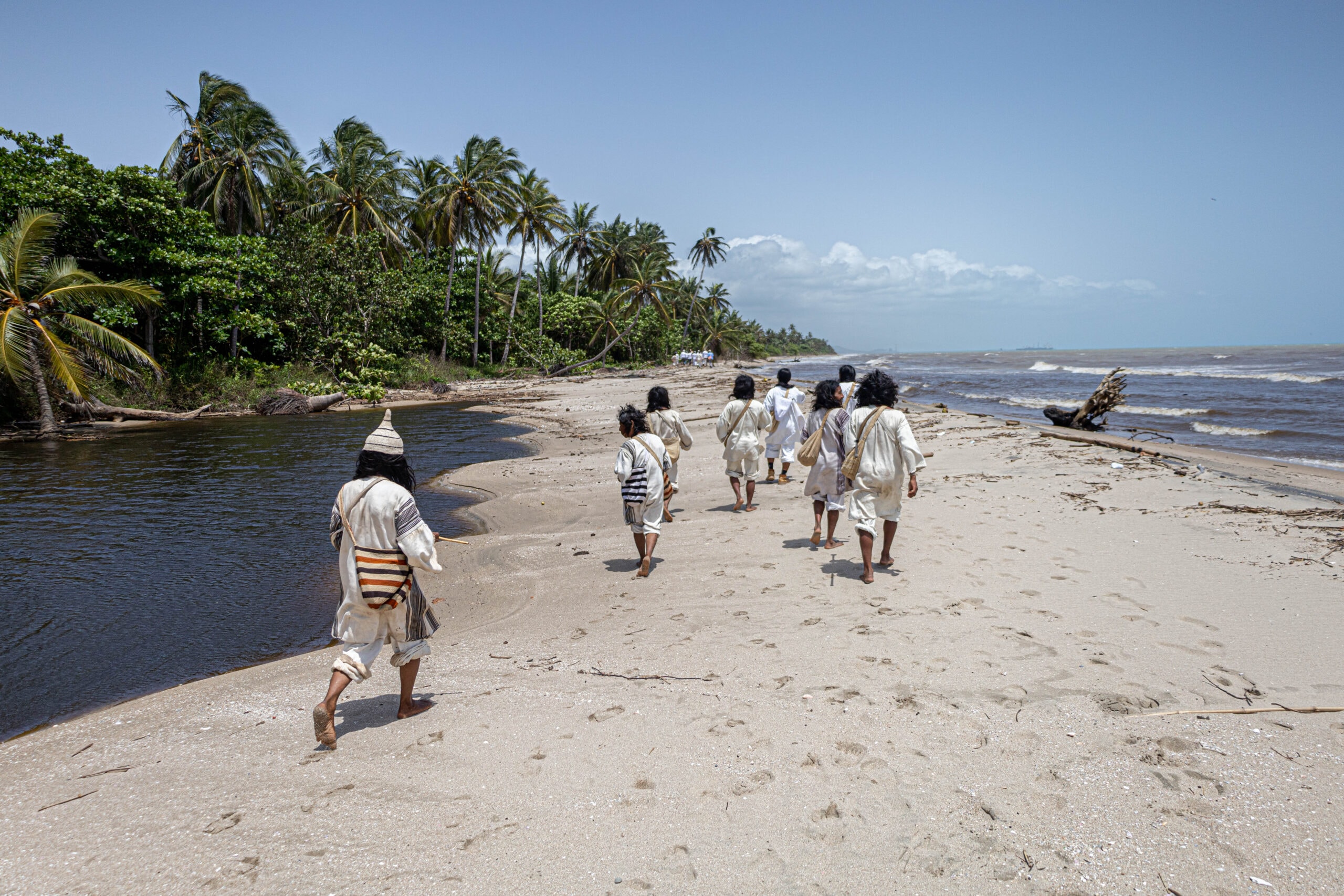
Understand how the Kogui people reclaimed access to the sea and restored nature at a coastal sacred site through our new blog about Jaba Tañiwashkaka.
Read MoreColombian National Land Agency formalizes fourth expansion of the Kogui-Malayo-Arhuaco Indigenous Reserve
The KMA reserve is inhabited by three of the four peoples of the Sierra Nevada de Santa Marta: the Wiwa people (Malayo or Arzario), Kággaba (Kogui) and Ikᵾ (Arhuaco), with jurisdiction in the departments of Magdalena, Cesar and La Guajira. 3,575 indigenous families benefit from the 213 new hectares, which are allocated to cultural and environmental protection and recovery between the upper and lower areas of the Sierra Nevada de Santa Marta, increasing the area of the reserve to just over 407,839 hectares.
Read MoreOral Histories: Helping the Kogui Manage their Territory
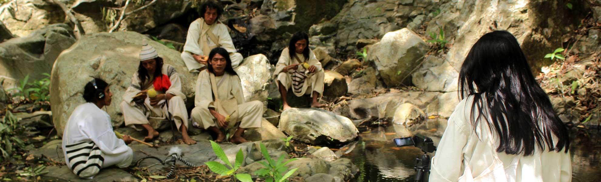
Two of ACT’s objectives in our work at Jaba Tañiwashkaka, a coastal sacred site of the indigenous peoples of Colombia’s Sierra Nevada de Santa Marta region, are to increase the territorial management capacity of indigenous leadership and to establish conservation agreements between the local indigenous and non-indigenous communities. In contexts like the Sierra Nevada de…
Read MoreColombian Government Signs Decree Recognizing the Ancestral Territory of the Indigenous Communities of the Sierra Nevada de Santa Marta
On August 6, Colombian President Juan Manuel Santos signed a decree that recognizes the ancestral territory of the indigenous communities of the Sierra Nevada de Santa Marta (SNSM), as defined by the sacred sites of the Linea Negra (Black Line), a ring of sacred sites around the base of the SNSM that forms the boundary…
Read MorePresident Santos Announces a Decision Today
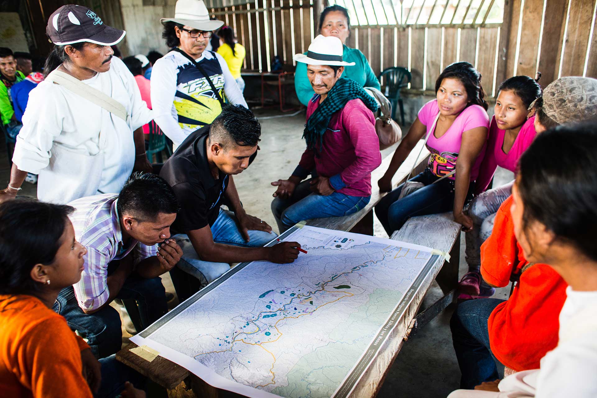
After waiting 27 years, the indigenous governments of non-municipalized areas of the Amazon finally will be able to manage the money from their national government transfers without intermediaries.
In Leticia, the Presidency, the Ministries of the Interior, Finance and Agriculture, DANE (the Colombian national statistics agency and the Colombian National Planning Department recognized the governments of 36 indigenous reserves that occupy 26 million hectares of practically intact territory and that had existed in a state of legal limbo with respect to territorial zoning that prevented them, in effect, from governing what is theirs by law.