Share this post
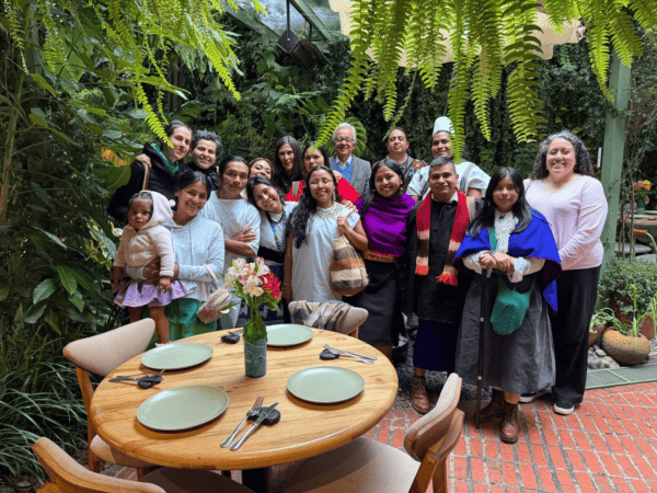
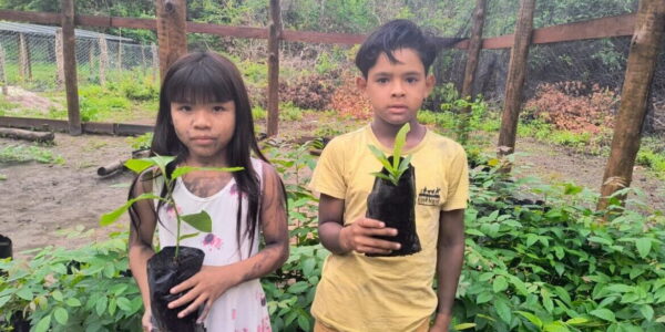
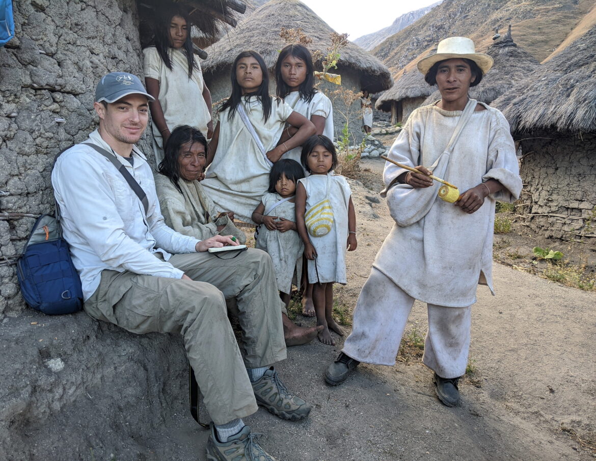
The Amazon Conservation Team works closely with Indigenous communities to create cultural maps that record and preserve traditional knowledge and support the conservation of ecosystems. Brian Hettler, Director of Mapping for the Amazon Conservation Team (ACT), recently spoke with Esri’s StoryScape magazine about using Esri’s GIS software to build maps with local communities.
He also explains more about a recent StoryMap made in collaboration with the GTI-PIACI, an international working group for the protection of Indigenous peoples in isolation and initial contact, that highlights the importance of protecting the territories and ecosystems of Indigenous peoples in isolation.
Read the blog “Casting communities as the protagonist of your geospatial story,” in StoryScape
Media Relations
For press release inquiries, please contact us at info@amazonteam.org.