

Brian Hettler, a geographer and cartographer with the Amazon Conservation Team (ACT), works with Indigenous communities in South America on participatory mapping initiatives that support indigenous land rights and rainforest conservation.
Maps are more than collections of geographic coordinates or lines representing roads or country borders. They can be an expression of a community’s culture, territory, and shared past, present, and future. Over the past fourteen years I’ve had the privilege to participate in participatory mapping projects with Indigenous and local communities across South America and have seen firsthand the positive impact of integrating maps into community-driven biocultural conservation initiatives.
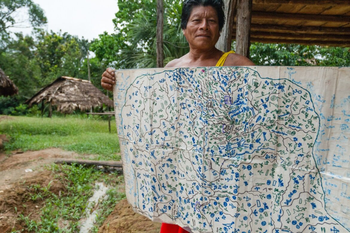
Participatory mapping is a foundational, cross-cutting approach that underpins ACT’s conservation work with Indigenous Peoples and local communities. At its core, it is a collaborative and community-driven process that brings people together around maps to build a shared understanding of their landscapes and territories, strengthen local knowledge systems, and develop a collective vision for the future of their lands and resources.
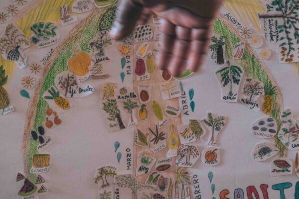
During participatory mapping workshops, I’ve witnessed Indigenous community members of all ages eagerly learn from elders in their communities about places in their territories including sacred sites, historical villages, and natural features like mountains and waterfalls, as the elders recount stories about those places that many community members hadn’t heard of before. Such exchanges between generations are essential to maintain traditional knowledge and Indigenous languages that today are commonly being lost with the lure of modern society.
Mapping serves as a critical resource in collaborative planning exercises where each community member can sketch out their vision for the future of their territories—where they will get food and water, where they will cultivate agricultural products and extract natural resources to sell for needed income, and areas that must be conserved for cultural or environmental reasons. Centering the conversation around maps helps to identify potential land-use conflicts at an early stage when a resolution can be more easily identified and codified by community governance systems, leading to more prosperous outcomes for all.
By combining traditional knowledge with modern geospatial tools, participatory mapping empowers communities to define their own priorities, support territorial governance, and make informed decisions about conservation and sustainable development.
The integration of mapping technology can help streamline and scale mapping processes, but must be implemented carefully. Young people in Indigenous communities and rural areas are often interested in technology like mobile phones and cameras, and integrating those tools into community processes with elders helps connect generations and strengthen cultural continuity. Direct-to-digital mapping tools help save time compiling multimedia, notes and geographic coordinates and reduce the chances of transcription errors, but these tools must be implemented in a culturally sensitive way that responds to local needs and ensures community ownership of the processes.
As ACT celebrates our 30th anniversary in 2026, we reflect on the integral role mapping has had within community-led biocultural conservation initiatives throughout the history of the organization. ACT helped pioneer participatory cultural mapping strategies with Indigenous communities more than twenty years ago, and today we’ve mapped more than 101 million acres across South America in partnership with local communities.
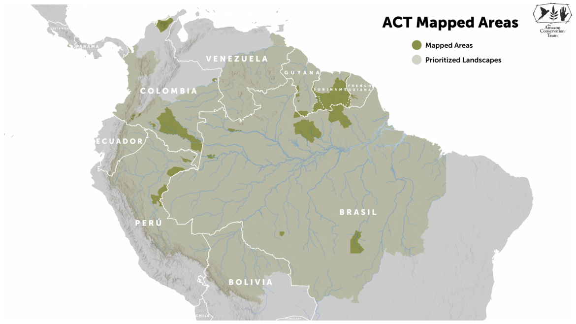
ACT’s participatory mapping work began in Suriname and spread across the Guiana Shield region, Brazil, Colombia, Peru, Costa Rica and Panama. ACT now works alongside communities to create maps that respond to locally identified needs across a wide range of thematic areas, including:
Indigenous language and cultural heritage preservation through the mapping of traditional place names (toponyms) and the documentation of place-based oral histories. These resources can be preserved for future generations and mobilized through community-led education and cultural revitalization initiatives.
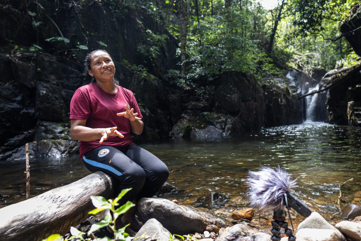
Documentation of traditional land-use practices and resource management systems, including hunting, fishing, gathering, agriculture, and other culturally significant activities that demonstrate longstanding relationships between communities and their territories.
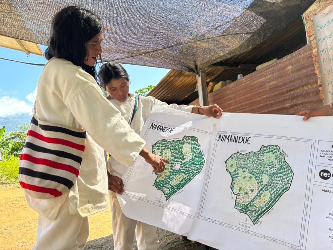
Strengthening Indigenous land rights and territorial protection by documenting traditional occupancy of, use of, stewardship of, and cultural connections to ancestral lands to provide communities with robust spatial evidence that supports legal recognition processes, land titling initiatives, conservation efforts and stewardship of natural resources.
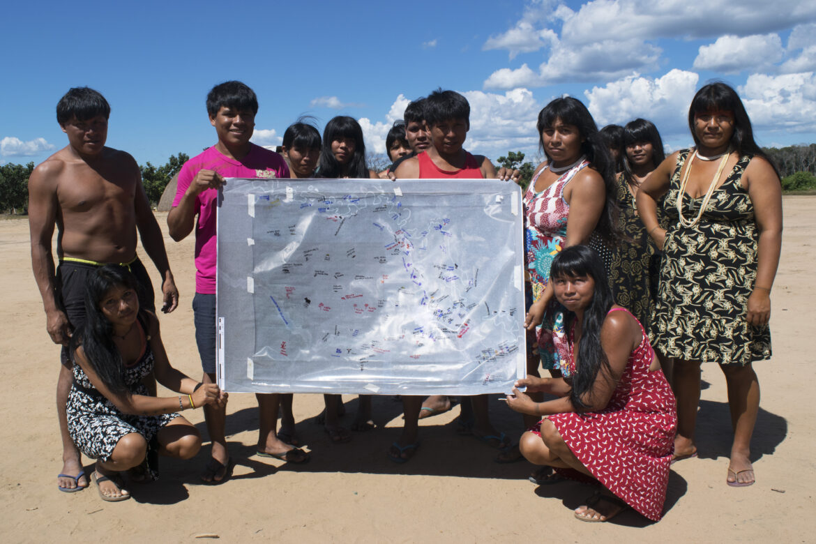
Community visioning and scenario planning, engaging households and community members in discussions about future land-use priorities, including ecosystem restoration opportunities, sustainable agroforestry projects, biodiversity conservation, and local livelihoods.
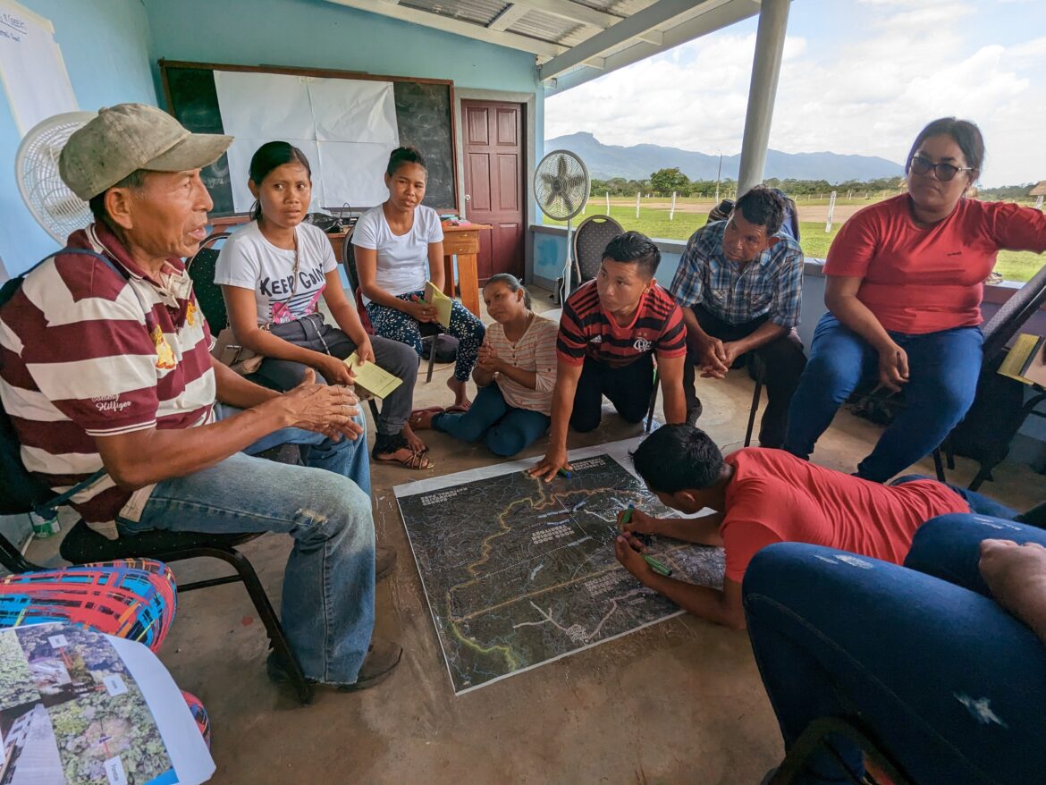
Mapping of isolated Indigenous Peoples and their territories to strengthen the recognition of territorial rights, inform protection measures, and support advocacy efforts aimed at safeguarding the lands, cultures, and well-being of communities that, by virtue of their voluntary isolation, have little voice in society.
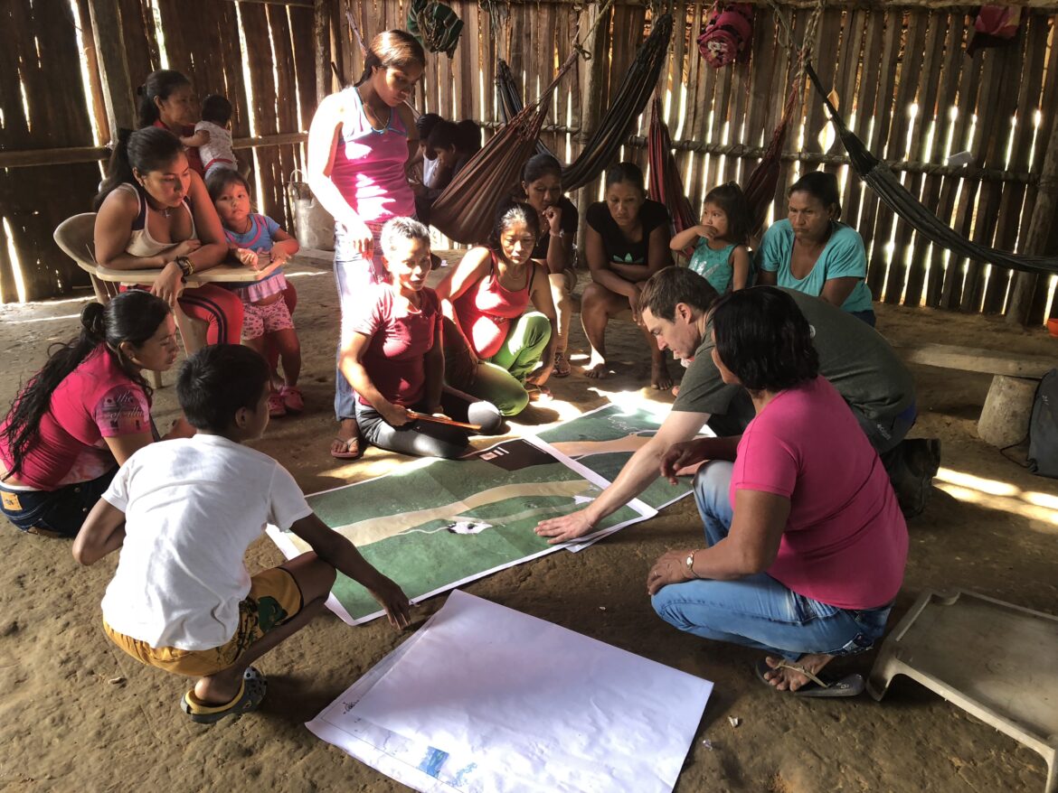
Through participatory mapping, communities become active agents in shaping the future of their territories, ensuring that conservation planning and resource management are grounded in local knowledge, cultural values, and community needs. This approach not only generates valuable spatial information for the communities, but also strengthens community cohesion, supports intergenerational knowledge transmission, and advances Indigenous rights and territorial security.
Want to support communities in mapping a better future for the rainforest? Donate here.
Share this post
Bring awareness to our projects and mission by sharing this post with your friends.