Posts Tagged ‘cartography’
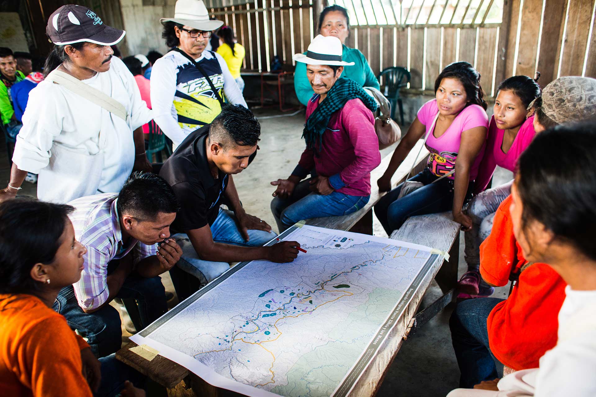
How the heart of the Amazon was protected
Five years ago, two indigenous territories in Colombia were expanded, establishing a protected area mosaic the size of Virginia.
Read MorePresident Santos Announces a Decision Today
After waiting 27 years, the indigenous governments of non-municipalized areas of the Amazon finally will be able to manage the money from their national government transfers without intermediaries.
In Leticia, the Presidency, the Ministries of the Interior, Finance and Agriculture, DANE (the Colombian national statistics agency and the Colombian National Planning Department recognized the governments of 36 indigenous reserves that occupy 26 million hectares of practically intact territory and that had existed in a state of legal limbo with respect to territorial zoning that prevented them, in effect, from governing what is theirs by law.


